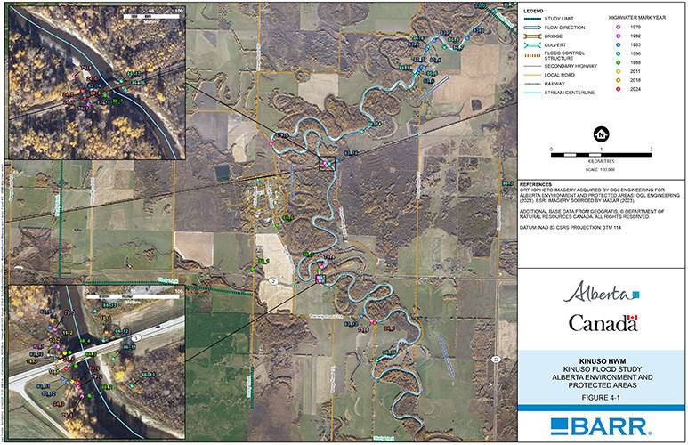
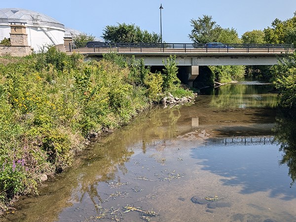
Communities across Alberta face growing risks from riverine flooding, with climate change expected to intensify both the frequency and severity of extreme events. To improve preparedness, Alberta Environment and Protected Areas (AEPA) launched the provincial Flood Hazard Identification Program (FHIP) in collaboration with Natural Resources Canada (NRCan)’s Flood Hazard Identification and Mapping Program (FHIMP). The program provides communities with detailed flood hazard information to guide emergency management, land-use planning, and public safety. AEPA has retained Barr to deliver multiple flood studies under the FHIP.
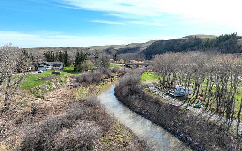
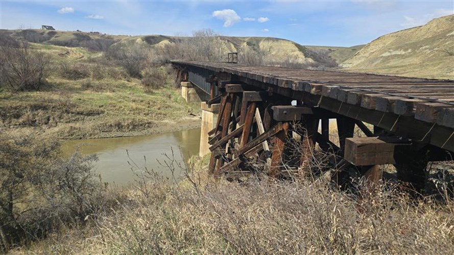
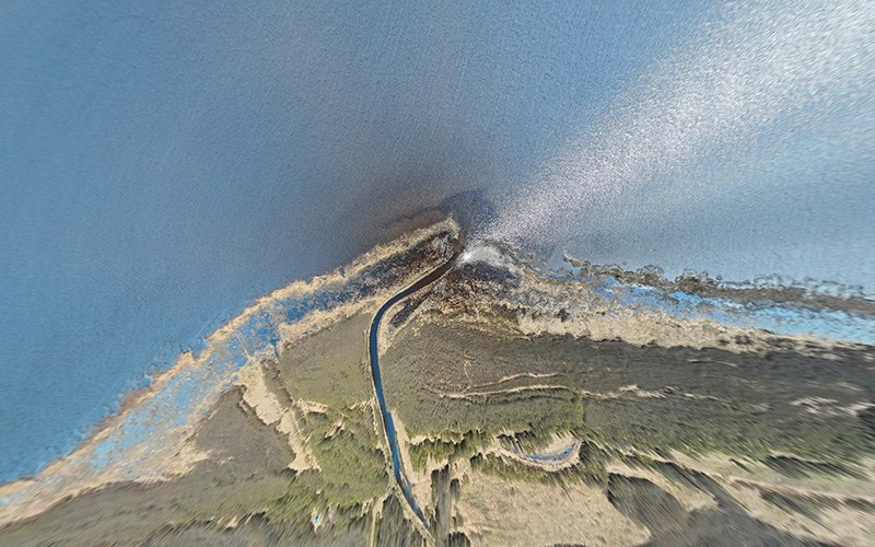
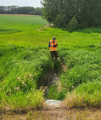
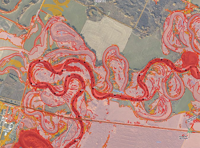
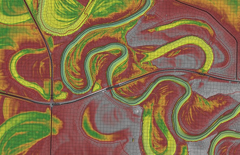
Each flood study involves a comprehensive assessment of a river reach adjacent to an Alberta community. Our study teams combine detailed bathymetric and structure surveys, hydrology assessments using multilinear regression flood-frequency analysis, balanced hydrographs, and advanced one- and two-dimensional hydraulic modeling to estimate flood levels, inundation extents, and hazards. The resulting maps—produced by Barr’s GIS specialists—illustrate flood inundation under a range of scenarios and flood criteria as well as flood hazards during the design flood.
These studies provide Alberta communities with clear, science-based tools for improving flood resilience. Local authorities use the detailed inundation and hazard maps to inform zoning, emergency planning and response, and infrastructure investment, and residents use them to understand and mitigate their flood risk.