A clearer view of sites, systems, and landscapes
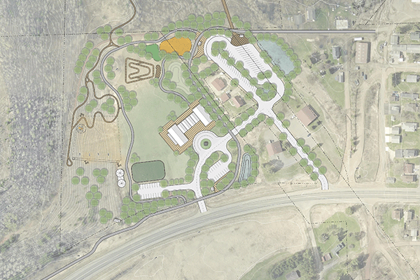
Understanding your sites, systems, and landscapes starts with putting data in its spatial context. Barr provides the data, analysis, mapping, and visualization needed to understand existing conditions and support informed planning and design.
Our capabilities span a full spectrum of geospatial services, from advanced field data collection, including UAS-based LiDAR, terrestrial laser scanning, and bathymetric surveys, to 2D and 3D analyses and reporting with GIS, Civil 3D, TopoDOT, and other industry-leading software.
These services provide a reliable foundation for planning, design, and decision-making, giving teams greater confidence in site conditions, system relationships, and project constraints.