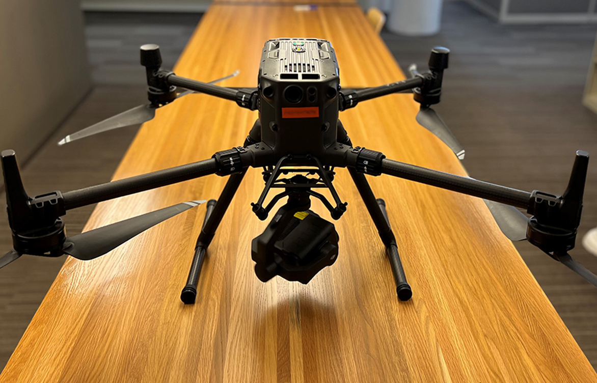
 The newest drone in Barr’s UAS fleet, the Matrice 300 RTK, carries a thermal camera to capture ground-level infrared images, which can pinpoint temperature abnormalities signaling a problem at a project site.
New heat-sensing drone sees the unseen
Because technology never stands still, the direct benefit of any one advancement is seldom clear. But the latest generation of drones is a game-changer for the types of field data Barr can collect for our clients.
Acting on a client’s request to gather ground-level temperature readings, Barr recently invested in Matrice 300 RTK drone technology. This agile, powerful drone uses thermal-sensing imaging technology to reveal site characteristics that can’t be seen in plain sight, and it includes additional next-generation features.
“Thermal detection is not new technology, but it historically has been available only on hand-held devices,” Reality Capture Technology Coordinator John Kubiak said. “Doing the type of field work our clients need can be dangerous or inefficient to do with hand-held devices. That’s where thermal-sensing drones have been a significant change.”
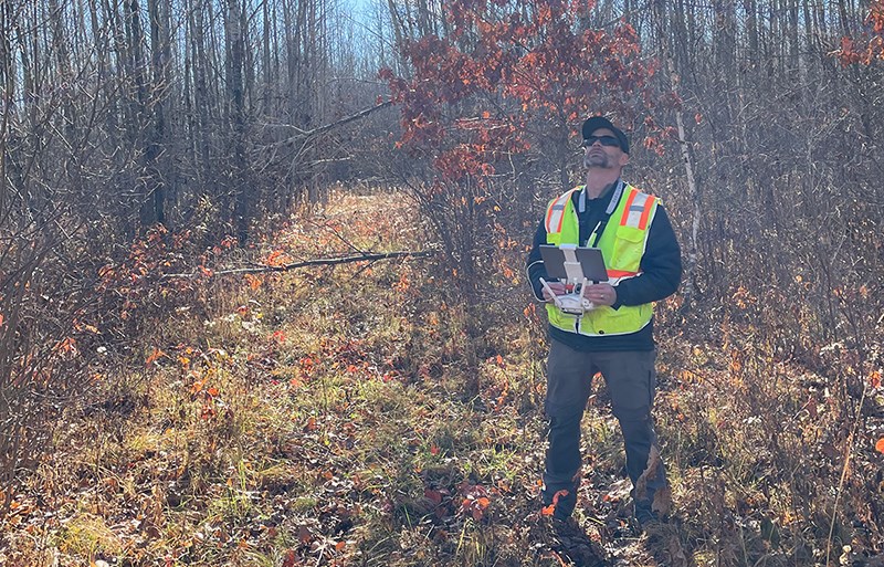
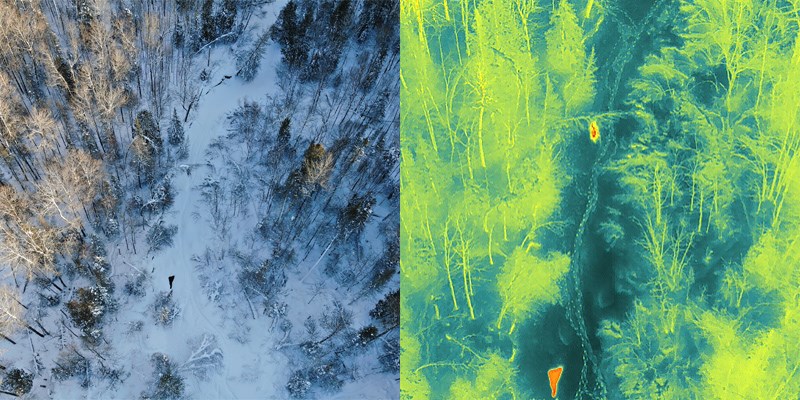
The drone’s on-board camera, a Zenmuse H20T, captures thermal images, recording temperatures on the ground or surface water from above. Temperature abnormalities can be the first warning sign of larger issues posing potential risks to the environment, public safety, or human health. This camera can reveal those signals and help a user identify issues such as a single malfunctioning solar panel in a farm of 500; water seepage in an earthen dam; or sudden river-temperature changes signaling water-quality issues.
With a longer battery run time, safety enhancements, and advanced camera zoom capability, the M300 RTK carries the added benefit of working faster and more efficiently than its predecessors. On a recent project flight in single-digit temperatures, we collected 10,000 images totaling 12 gigabytes across 200 acres in six uninterrupted hours.
To learn more about Barr’s reality-capture services, check out our related Employee Spotlight blog article featuring John Kubiak or contact us.
About the author
John Kubiak, reality capture technology coordinator, is Barr’s technical lead for drone technology research, development, and education. He became a Federal Aviation Administration-certified (Part 107) small UAS pilot in May 2018 and has flown dozens of projects, collecting nadir and oblique imagery and video for inspection, construction observation, and topographic surveys.


